Visor geográfico Barú

  • project image
    Información geográfica y ambiental de Barú (2021)
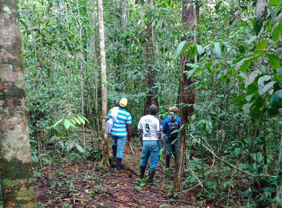
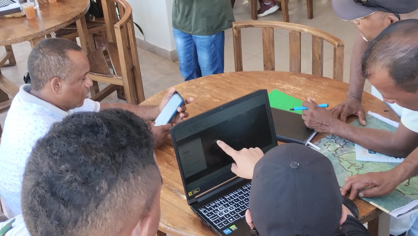
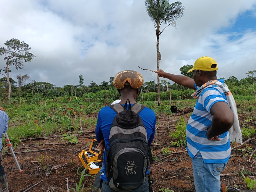
    Load the map View metadata

Visor geográfico La Boquilla

  • project image
    Información geográfica de La Boquilla

    Load the map View metadata

Consulta previa

  • project image
    Consulta previa

    Load the map View metadata

Costa rica

  • project image
    Costa_rica

    Load the map View metadata

Montes maria

  • project image
    Información cartográfica Montes de María

    Load the map View metadata

Proyecto de titulación colectiva de comunidades negras

  • project image
    Biodiversidad y cambio climático (2023)

    Load the map View metadata

  • project image
    Diplomado en derechos territoriales

    Load the map View metadata

  • project image
    Territorio ancestral El Negro Robles

    Load the map View metadata

  • project image
    Titulación colectiva de comunidades negras (2023)

    Load the map View metadata

  • project image
    Zapatosa

    Load the map View metadata

  Base Layer

project image

Title
Proyecto providencia 

Organization
Universidad Javeriana 

Person
Elias Helo 

E-mail
ehelo (at) javeriana.edu.co 

Projection
EPSG:9377 

Extent
4079805.56969999987632036, 3044795.09070000005885959, 4100808.87889999989420176, 3054523.98199999984353781

Web Map Service
WMS Url
WMTS Url

 Geolocation 

 Print 

 Measures

 Draw